About
With time, this travel log will accumulate more trips than the one it currently describes. As this website is still "under construction" it's just one big page with daily entries from my current trip.
Currently, my friend Ben and I are driving across most of the country in his two-door Jeep Wrangler. We're looking to make it at least as far as Moab, because when you have a Jeep, that's what you do.
Day 21: 2018-06-27
Campsite: Dispersed camping near Animus River, outside Silverton, CO
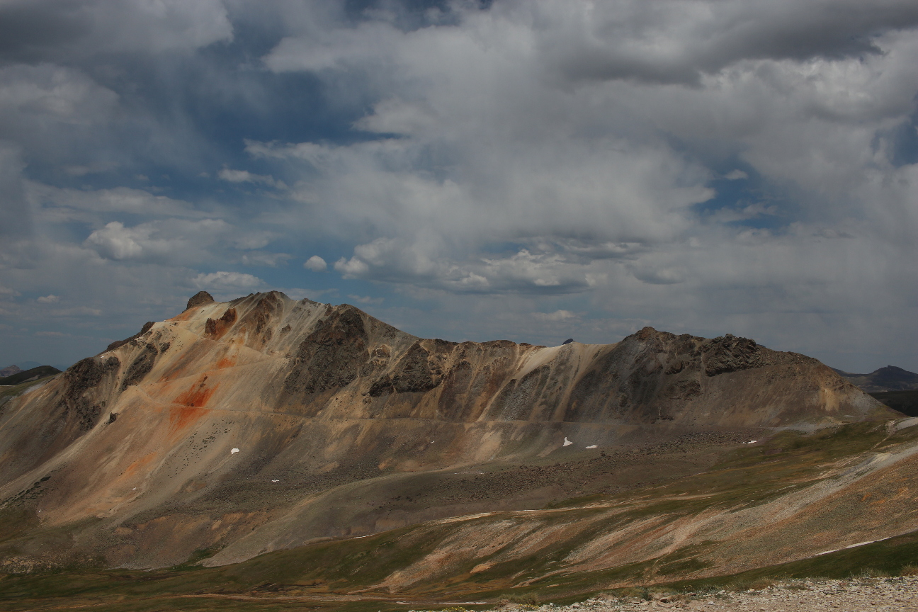 At Right: Engineer Pass
Quote of the day:
"I might have to sharpen my knife tonight. Since we're by a river." -Ben R.
This was a pretty full day.
With the exception of seeing our friends in Denver and Omaha, today was the absolute high point of the trip so far. We woke from our camp in Gunnison, grabbed a quick coffee, and hit the road. Our destination was Engineer Pass, in the San Juan mountain range of Western Colorado. This region has held our attention for a long time: for me, it's the home of the Hardrock 100 mile mountain race. For both of us: it's known for its rugged off-road mountain passes, high peaks, breathtaking scenery, and hard-rock mining heritage.
We made Lake City before noon. It's the gateway to the famous Alpine Loop, a scenic drive which includes both Engineer and Cinnamon Pass. We refueled at the low, low price (for a remote mountain town) of $3.39/gal, and set off. The views were unreal, and kept getting better and better. Honestly, it was hard to believe that what we saw was actually real. At Engineer Pass, we helped out a couple guys in another Jeep whose tire had lost pressure (down to 10 PSI). They happened to also be Virginians, and one was even a Hokie with an engineering degree (ISE '97)! They got our contact info, and we later heard the tire held pressure all the way down into Lake City at the other end of the trail.
We noticed this pattern a lot while driving out in the San Juans. The trails are heavily trafficked, but everyone seems willing to stop and lend a hand to those who may need it. Several times while stopped for pictures, a side-by-side would pass and ask if everything was alright. That kind of openness towards strangers was in refreshingly rare concentration out in the mountains and mountain towns.
With the top down and the windows off, we made as many futile attempts at capturing the landscape, century-old mining towns, and wildlife as our cameras' batteries allowed. After a full day of driving, we made camp just outside Silverton, CO (the home of the Hardrock 100). Being camped so close to Silverton, we walked into town later that evening for a post-dinner pint at the Golden Block Brewery before hitting the hammocks for the night.
Day 20: 2018-06-26
Campsite: BLM Land outside of Gunnison, CO
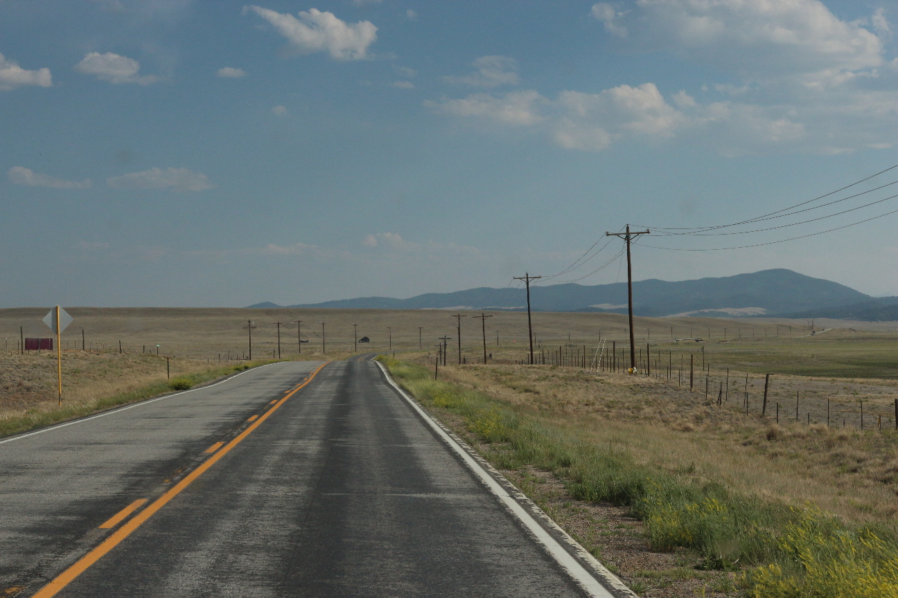
Today, I finished building the launch-able version of this website. We started out in our campsite in Rampart Road, and made our way immediately to the town of Woodland Park. We grabbed coffee and a couple donuts at the aptly-named Donut Mill (It has a windmill on the roof), took advantage of the unmetered internet connection at the local public library. Here I was able to finish uploading the images and HTML files that make up this site. We also both took the opportunity to update our operating systems (life of a Linux enthusiast), and send some email.
This all took several hours, mainly due to the size of Ben's overdue software updates, so we didn't actually leave town until around 1600. Leaving that late, we made our goal of Gunnison, CO around 2030 and decided we'd be better off at the local brick oven pizza/brewery than trying to cook dinner with too little water and daylight left. This was obviously a good decision, High Alpine Brewing Co. turned out to make some good pizza and even better beer. We made camp in BLM (Bureau of Land Management) land less than a mile outside of town. The farther west we get, the more public land we're able to find and use like this. It's really a valuable resource.
Day 19: 2018-06-25
Campsite: Rampart Road dispersed camping
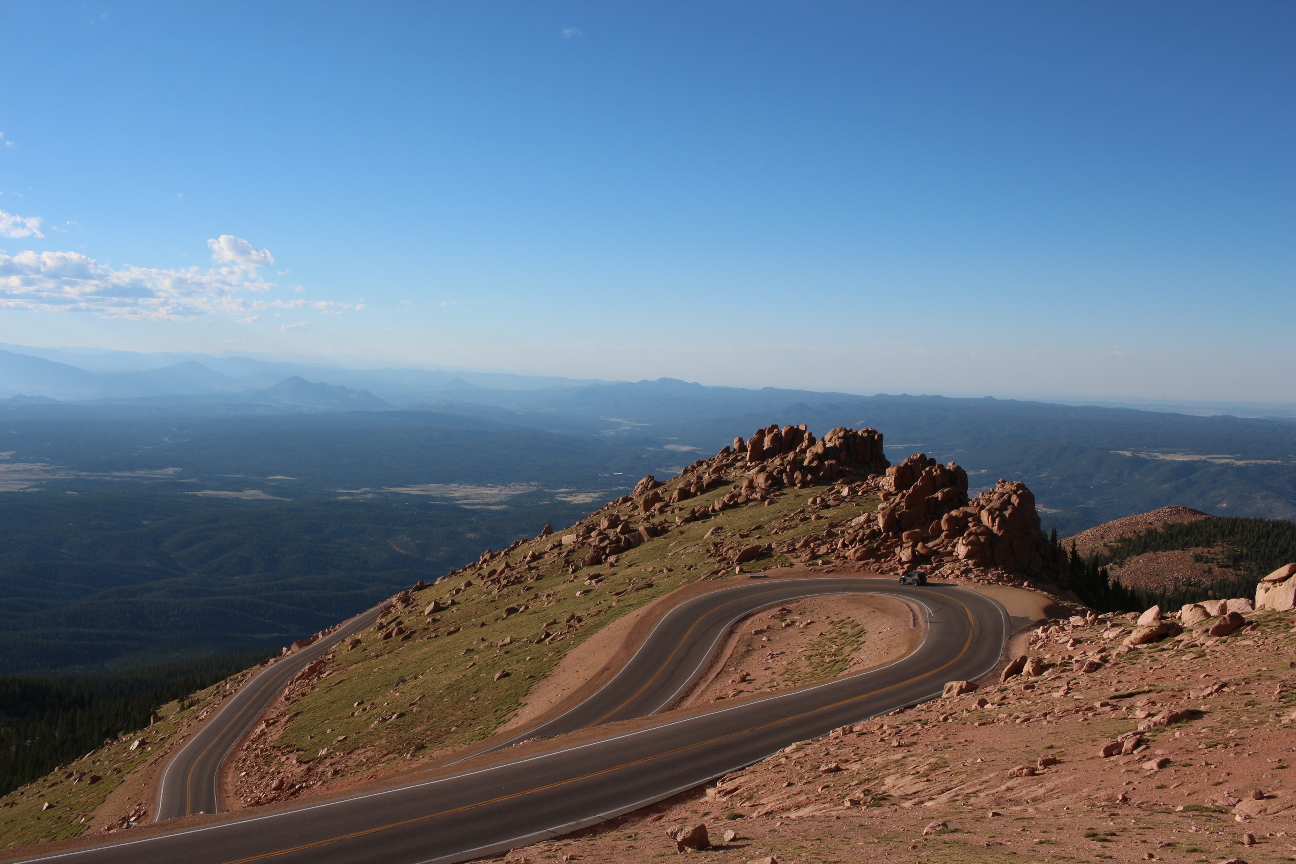
We had a jam-packed day today. On our way out of Denver, Ben picked up a 55-200mm telephoto lens. I'd been teasing him with shots of the landscape and wildlife from my 55-250, and it was only a matter of time before his desire for Nat. Geo fame consumed his wallet. (I have to say, he's made some great pictures with it in the day since.) We then headed south to Colorado Springs. It makes more sense to go this way, rather than I-70, since we are planning on visiting the San Juans on our way to Utah and we can take the scenic route (off road) through there.
We filled out the rest of the day in the area visiting Garden of the Gods, Manitou Springs, and Pike's Peak, where we drove to the top. At the mandatory brake temperature check on the way down, we had the lowest score of the day: 86 degrees F. Putting the Jeep in first gear all the way down probably helped with that. We made camp in the freshly grown (newly burned) forest above Garden of the Gods, at a generic dispersed campsite.
Day 18-20: 2018-06-22 - 2018-06-24
"Campsite": Denver, CO
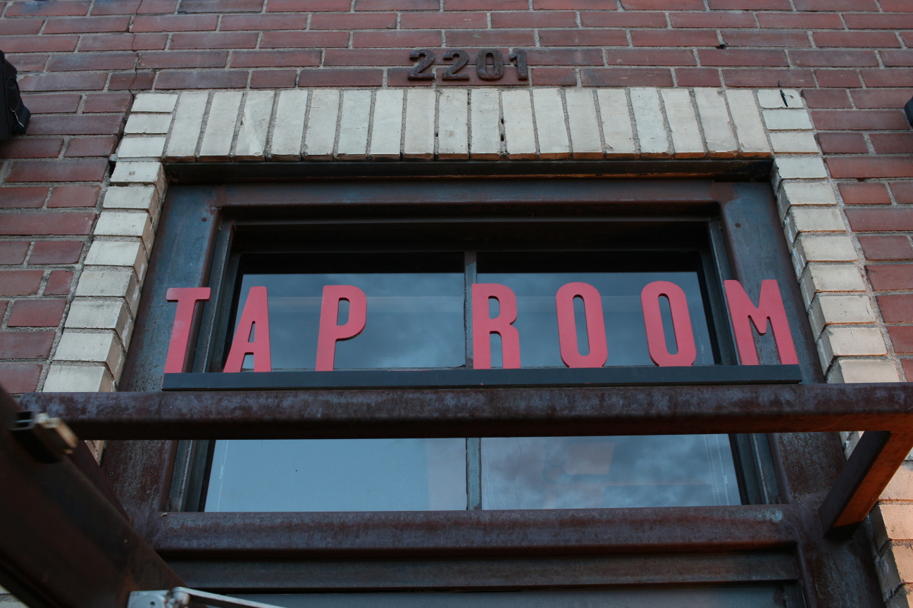 There are many of these in Denver...
Today we drove (finally!) into Denver. It's been about a year since I've been here, and it felt so good to be back. We're staying with a local friend for the weekend, and he's showing us around by foot.
to be continued...Day 17: 2018-06-21
Campsite: Dispersed camping near Rocky Mountain NP
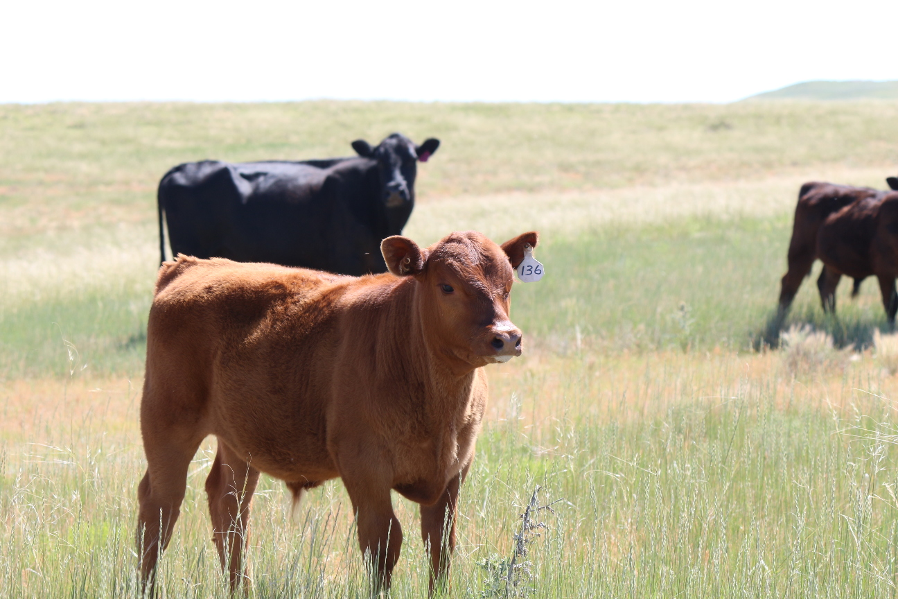 We saw a lot of cows in Pawnee, they even came through our campsite!
Today I went on one of the most unusual runs I've ever done: I ran through the prairie around our campsite in the Pawnee Grassland. The only trails are two-track jeep trails, so I did most of the run off-track in the middle of an ocean of knee-high grass. I don't think I've ever experienced such a feeling of space and openness, aside from being on a mountain peak or somewhere similar.
We're planning on meeting a friend in Denver tomorrow, so today we headed into Fort Collins and did a bit of work in a coffee store (Bindle Coffee, great place). I typed up a lot of these entries, actually, since it's much easier to do at a table than in a tent. For our camp tonight, we drove west on US-36 into the mountains and camped dispersed in hammocks. The weather was thankfully clear, but brisk and breezy -- the higher elevations can get surprisingly cold (high 40's F) in the summertime.
Day 16: 2018-06-20
Campsite: Pawnee National Grassland
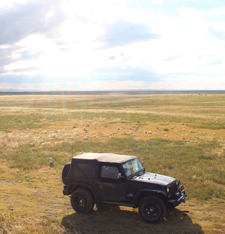
Today we woke up and struck camp in an unseasonally rainy and cold Black Hills. The campground manager said it was all for the best, though -- they usually get forest fires this time of the year. We crossed the border into Wyoming and made our way south past cliff-edged bluffs and rolling plains. After grabbing dinner in Cheyenne (some excellent Mexican) we made camp in Pawnee National Grassland, just south of the CO-WY border.
This camp was easily one of the best so far. The National Grassland is treated like a National Forest, so dispersed camping is allowed basically anywhere at no cost. Public and private lands form a patchwork here, so we made our way down a marked FS road so we wouldn't accidentally cross into someone's ranch. We selected a level site, made camp, and watched the sun set for about 3 hours. Being so eager to reach the Rockies, I wasn't expecting to be so blown away by the prairie just beneath them.